


Informatics Educational Institutions & Programs

No higher resolution available.
Franse_GemeenschapLocatie.png (270 × 270 pixels, file size: 1 KB, MIME type: image/png)
Summary
| Description |
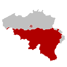
Nederlands: Kaart Franse Gemeenschap |
| Date | |
| Source | Own work |
| Author | LennartBolks |
Licensing
| |
This work has been released into the public domain by its author, LennartBolks, at the English Wikipedia project. This applies worldwide. In case this is not legally possible: |

|
File:Franse GemeenschapLocatie.svg is a vector version of this file. It should be used in place of this PNG file when not inferior.
File:Franse GemeenschapLocatie.png → File:Franse GemeenschapLocatie.svg
For more information, see Help:SVG. |
 |
File history
Click on a date/time to view the file as it appeared at that time.
| Date/Time | Thumbnail | Dimensions | User | Comment | |
|---|---|---|---|---|---|
| current | 21:05, 20 April 2007 | | 270 × 270 (1 KB) | Tene~commonswiki | Optimised (0) |
| 20:21, 13 April 2006 |  | 270 × 270 (3 KB) | Donarreiskoffer | source: nl:Afbeelding:Franse GemeenschapLocatie.png {{PD}} made by nl:user:LennartBolks |
File usage
The following pages on the English Wikipedia use this file (pages on other projects are not listed):
Global file usage
The following other wikis use this file:
- Usage on af.wikipedia.org
- Usage on an.wikipedia.org
- Usage on ar.wikipedia.org
- Usage on ast.wikipedia.org
- Usage on be.wikipedia.org
- Usage on ce.wikipedia.org
- Usage on cs.wikipedia.org
- Usage on fa.wikipedia.org
- Usage on hr.wikipedia.org
- Usage on hu.wikipedia.org
- Usage on hy.wikipedia.org
- Usage on id.wikipedia.org
- Usage on it.wikipedia.org
- Usage on jv.wikipedia.org
- Usage on ko.wikipedia.org
- Usage on lb.wikipedia.org
- Usage on mt.wikipedia.org
- Usage on nl.wikipedia.org
- Usage on no.wikipedia.org
- Usage on pam.wikipedia.org
- Usage on ro.wikipedia.org
- Usage on ru.wikipedia.org
- Usage on sh.wikipedia.org
- Usage on srn.wikipedia.org
- Usage on sr.wikipedia.org
- Usage on sv.wikipedia.org
- Usage on th.wikipedia.org
- Usage on zh.wikipedia.org
